
Our straightforward approach A clear, three-step process designed for your convenience
Consultation & Scheduling
We start with a simple call to understand your project goals. We then provide a clear quote and schedule a flight time that works for you.
On-Site Data Capture
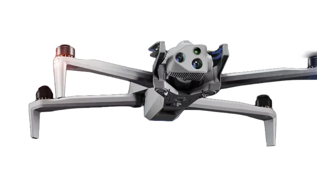
Our certified pilot arrives on-site to perform the flight using our professional, American-made drones. You are not required to be present for the data capture process.
Data Processing
& Delivery
We process the hundreds of captured images on secure, US-based servers and deliver your final report, maps, and photos through your private, password-protected client portal
Secure, 24/7 access to your project files and reports Your Project, All in One Place
Once our analysis is complete, you will receive a secure login to your private client portal. Here, you can view, share, and download all your project deliverables, including high-resolution photos, interactive 3D maps, detailed orthomosaic imagery, and comprehensive data reports. It’s a single, organized, and secure hub for all your property information, accessible whenever you need it.


Ready to see your Property from a new perspective?
Every project is unique. Let’s have a simple, no-jargon conversation about your goals. We’ll listen to your needs and provide a clear, straightforward quote to get the job done right. Fill out the form to get started with a free consultation and quote.
Premium Drone Services You can count on
Precision survey
Our precision survey operations deliver sub-centemeter positional accuracy using RTK and PPK correction methods. We capture up to 100 acres per hour and provide full 2D and 3D deliverables within 5 business days, formatted for GeoTIFF, LAS, or CAD workflows to integrate seamlessly with your engineering systems.
Search & Rescue Support
In critical situations, our drones serve as a powerful force multiplier for first responders. We provide rapid deployment for real-time situational awareness over vast or hazardous terrain, improving search efficiency and delivering vital intelligence to ground crews.
Land Inspection
Stagecoach Drone Services has surveyed more than 25,000 acres of ranch, agricultural, and utility right of ways, providing high-resolution orthomosaic imagery and detailed condition reports. Each inspection achieves sub centimeter level accuracy using RTK-enabled UAS for reliable, decision-ready data.
Thermal Inspection
Using advanced thermal sensors, we see what the naked eye can't. We safely detect heat loss in buildings, identify faulty solar panels, and pinpoint electrical hazards, providing critical data for proactive maintenance and safety.
Infrastructure & utility inspections
With over 2000 miles of transmission and distribution corridors inspected, we specialize in high-resolution asset imaging. Our inspections identify corrosion, line sag. and vegetation encroachment early. We are helping clients maintain safety, compliance, and reliability. All missions are 100% incident-free since program start.
Event & Promotional
Elevate your story with breathtaking aerial videography. We capture cinematic, high-resolution footage for promotional materials, special events, and commercial properties, delivering a dynamic perspective that captivates your audience.
3d modeling & digital twins
Transform your physical site into a precise digital asset. We create survey-grade 3D models and 'digital twins' that empower architects, engineers, and builders to track progress, verify designs, and make more informed planning decisions.
Ranch & Property overview mapping
Understand your land like never before. We generate a complete, high-resolution map of your entire ranch or large property, providing invaluable documentation for land management, infrastructure planning, and insurance purposes.
Construction documentation & survey
Keep your project on schedule and budget with regular, high-resolution aerial updates. We deliver the precise data you need to monitor progress, verify work with stakeholders, and maintain a complete, verifiable record of your build.
Wildfire Vegetation Mitigation
Satisfy your insurance requirements with the essential 'before and after' mitigation proof they demand. Our advanced analysis also maps high-risk vegetation, giving you a clear, data-driven plan to protect your home and investment.
real estate development & survey
We help developers sell the vision long before breaking ground. Our stunning aerial surveys and visuals showcase the property's full potential and key features, creating powerful marketing materials to attract investors and buyers early in the process.
Real estate photography
Make your listing unforgettable in a competitive market with stunning aerial photography and video. We capture the full beauty and scope of your property to attract more qualified buyers and help you secure the best possible offer.
Our Process Frequently Asked Questions
What happens if the weather is bad on our scheduled day?
Safety is our top priority. If weather conditions like high winds, rain, or snow are not safe for flight, we will contact you immediately to reschedule for the next available clear day.
Do I need to do anything to prepare my property for the flight?
Generally, no preparation is needed. We simply ask that any pets are secured indoors and that we have clear, legal access to the property for the duration of the flight.
What kind of files will I receive in the client portal?
Depending on your service, you will receive high-resolution JPEG photos, MP4 video files, detailed PDF reports, and links to interactive 3D models and orthomosaic maps of your property.